MONARA
E-Zine
Round the World On Equator
Round the World On Equator
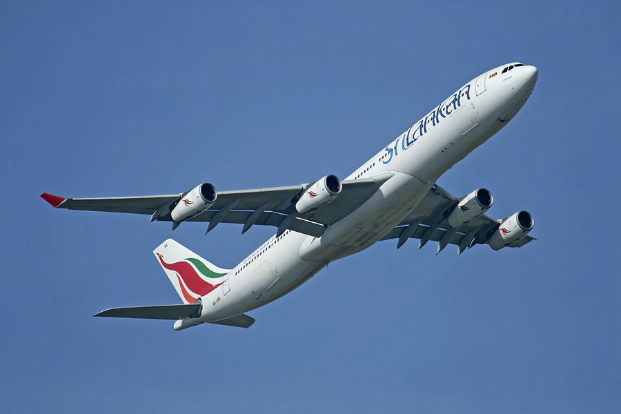
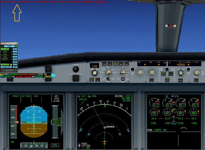
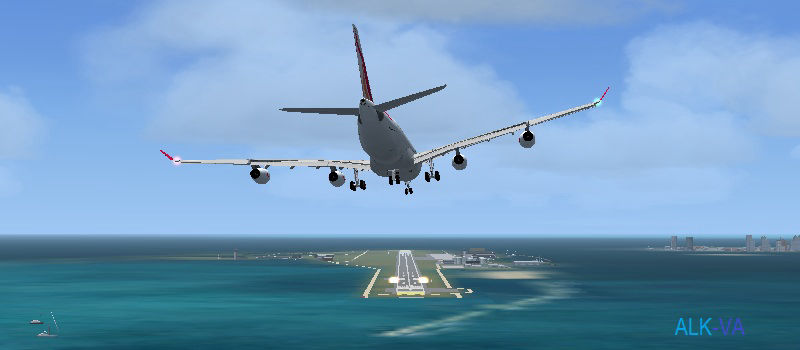
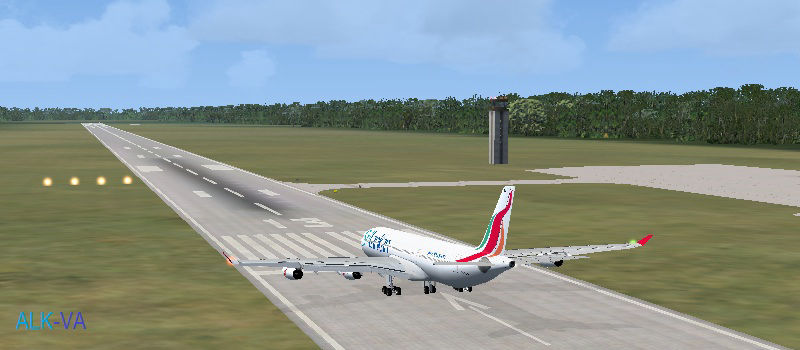
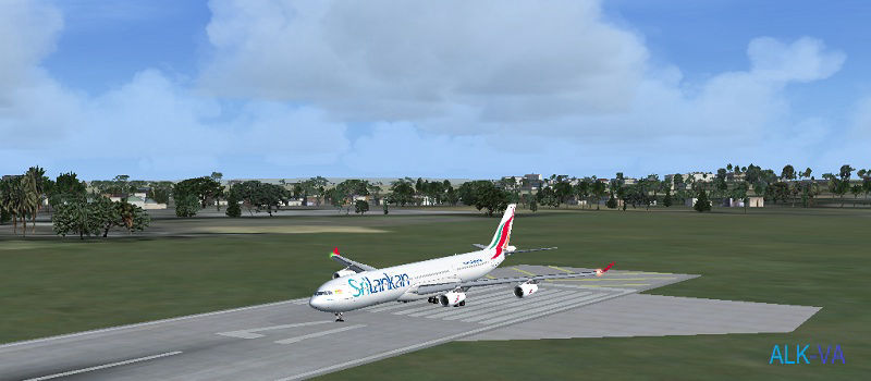
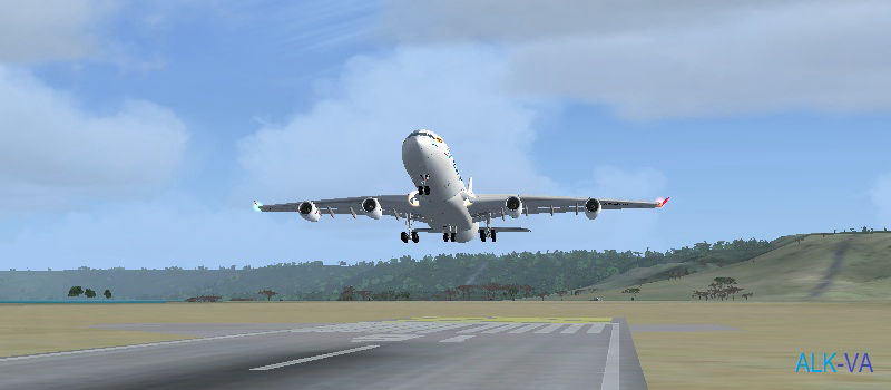
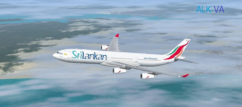
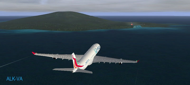
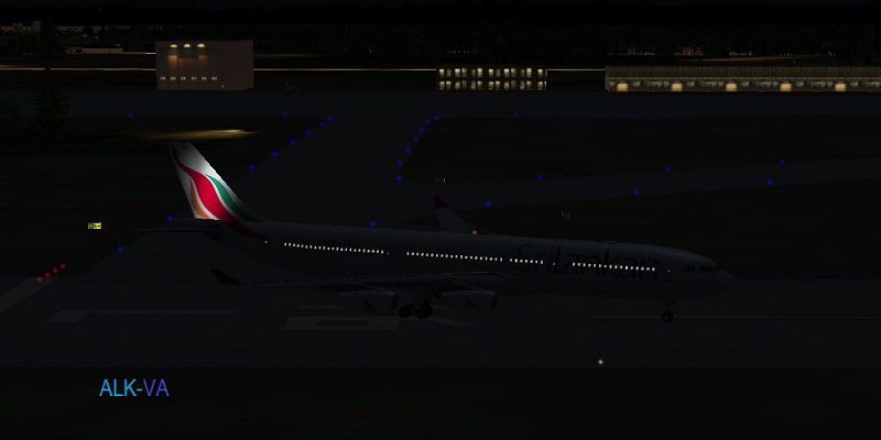
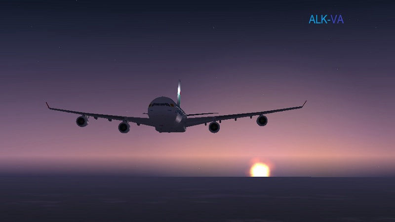
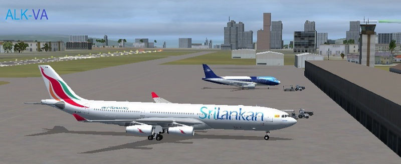
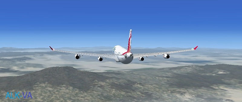
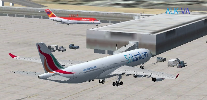
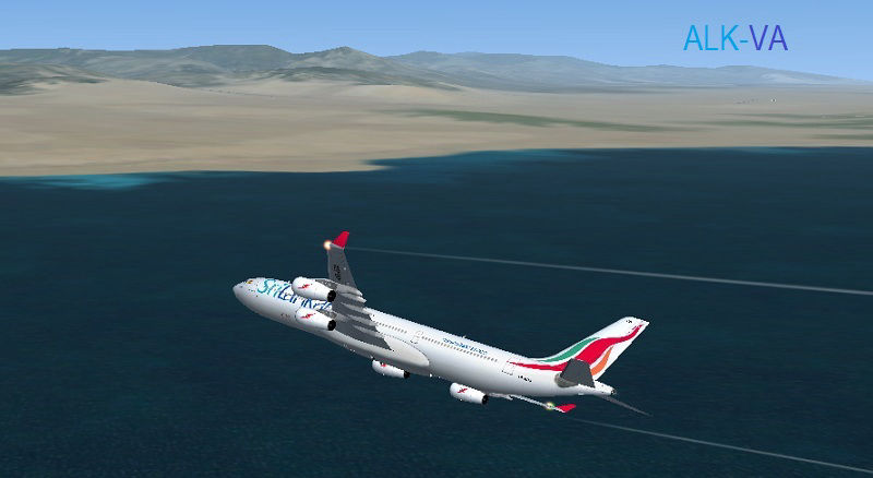
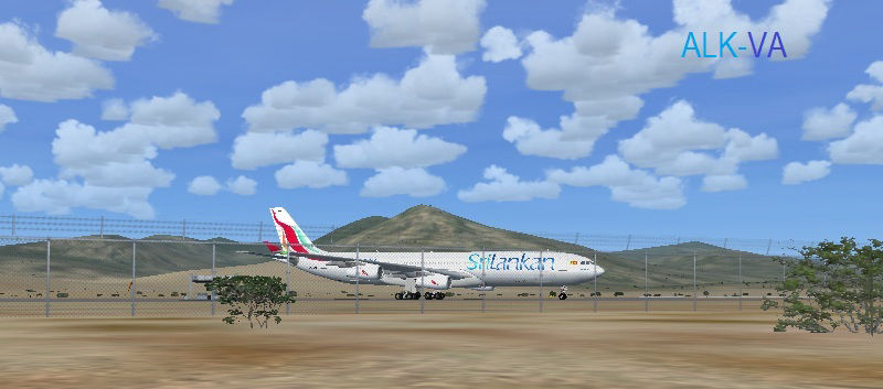
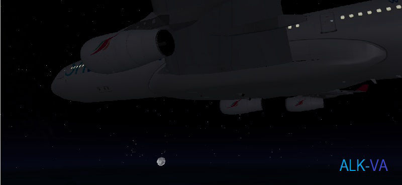
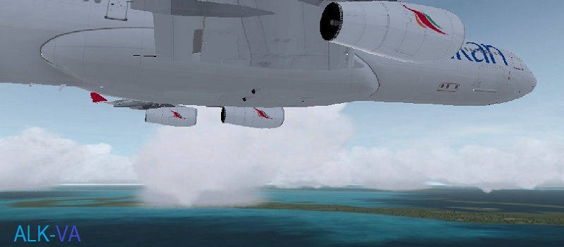
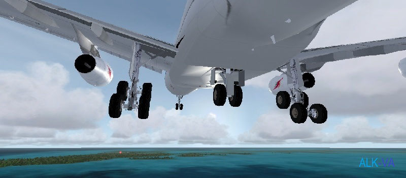
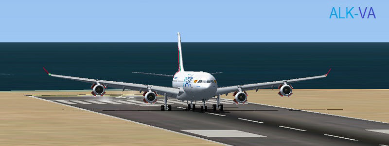
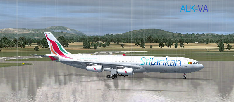
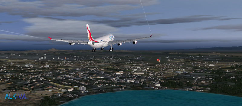
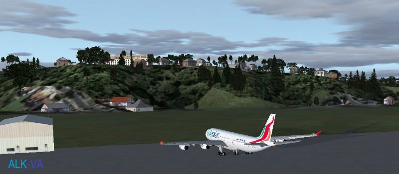
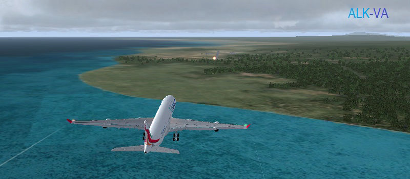
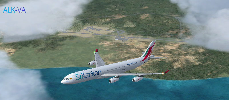
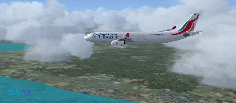
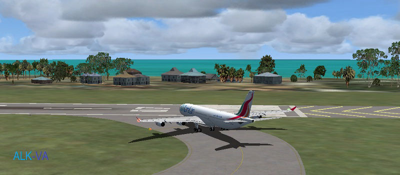
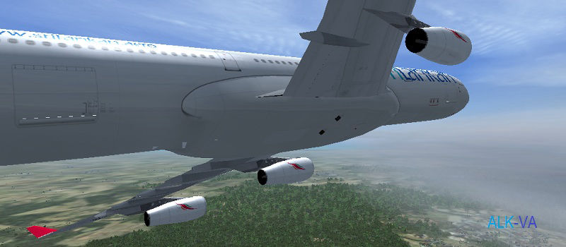
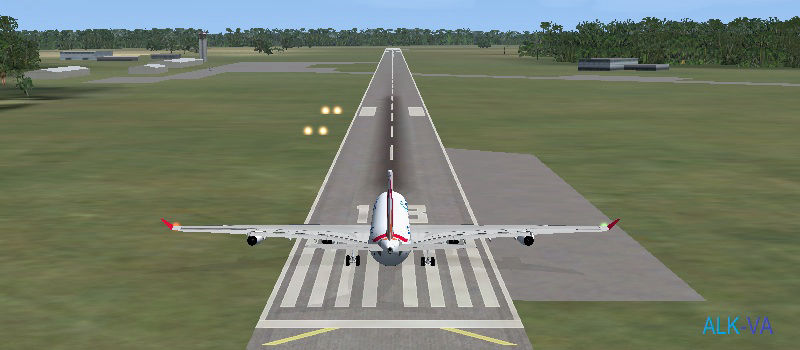
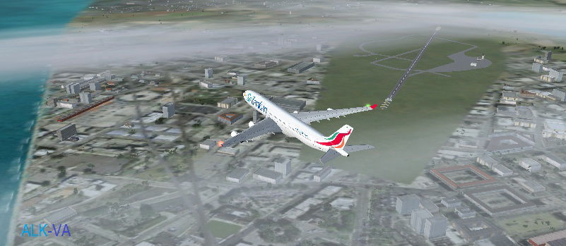
To commemorate the launching of Sri Lankan Virtual Airlines on 11-11-2011, our A340 4R-ADA aircraft embarked on a journey around the world. It was not just an ordinary around the world flight. Route was specially planed in such a way to stay on the Equator as much as possible. Round the World On Equator - RWOE. Flight takes nearest possible route on equator, subject to availability of airports suitable for A340 operations. After 22 sectors, 23506nm and 54.06 flying hours aircraft completed the flight on 04-02-2012, the Independence Day of Sri Lanka with a flypast over celebration. You can follow this unique flight with Vataware Flight logs (Flight No. ALK343) and Picture Gallery below.

Bandaranaike International Airport (also known as Katunayake International Airport and Colombo International Airport) (IATA: CMB, ICAO: VCBI) is Sri Lanka's only international airport at the moment. Mattala International Airport, when it gets built will be the second International Airport of Sri Lanka. It is located in Katunayake, 35 km (22 mi) north of Colombo.
The airport began as a Royal Air Force airfield in 1944 during the Second World War, RAF Station Negombo. In 1957, when SWRD Bandaranaike removed all the British Military airfields from Ceylon (Sri Lanka), the airfield was handed over to the Royal Ceylon Air Force (RCyAF) and renamed Katunayake. Part of it still remains an Air Force airfield.
Ibrahim Nasir International Airport (IATA: MLE, ICAO: VRMM), more commonly known as Malé International Airport, previously known as Hulhulé Airport, is the main international airport in the Maldives. It is located on Hulhulé Island in the North Malé Atoll, nearby the capital island Malé.The first commercial flight was an Air Ceylon flight (4R0ACJ) landed on this runway was at 15:50hrs on 10 April 1962. The first aircraft owned by the Maldives landed on the runway of the Hulhulé Airport on 1974.
Seychelles International Airport (IATA: SEZ, ICAO: FSIA) or Aéroport de La Pointe la Rue as it is known locally is located on the island of Mahé, Seychelles near the capital city of Victoria. The opening of the Seychelles International Airport took place on the 20 March 1972 by Her Majesty Queen Elizabeth II.

Jomo Kenyatta International Airport, (IATA: NBO, ICAO: HKJK) formerly called Embakasi Airport and Nairobi International Airport, is Kenya's largest aviation facility, and the busiest airport in East Africa. The airport is named after the first Kenyan prime minister and president Jomo Kenyatta.
Bangui M’Poko International Airport (IATA: BGF, ICAO: FEFF) is an airport located 7km (4 miles) northwest of Bangui, the capital of the Central African Republic.
Libreville Leon M'ba International Airport (IATA: LBV, ICAO: FOOL) is an airport situated in Libreville, Gabon. It is the main international airport in the country. Named after the first president of Gabon, Léon M'ba, it was the hub of former national airline Air Gabon until March 2006.


Royal Air Force Station Ascension, more commonly known as RAF Ascension Island, and sometimes known as Wideawake Airfield or Ascension Island Base, is a British military airbase on Ascension Island in the Atlantic Ocean, near the Equator.
Augusto Severo International Airport (IATA: NAT, ICAO: SBNT), formerly called Parnamirim Airport, is the airport serving Natal, Brazil, located in the adjoining municipality of Parnamirim. Since November 24, 1951 the airport is named after the aviator Augusto Severo de Albuquerque Maranhão (1864-1902).
Belém/Val de Cães–Júlio Cezar Ribeiro International Airport (IATA: BEL, ICAO: SBBE) is the main airport serving Belém, Brazil. Val de Cães, the name of the neighborhood where the airport is located. Since April 13, 2010 the airport is named also after Júlio Cezar Ribeiro de Souza (1837–1887) a researcher of balloons.
1. Airport at highest elevation, 9226ft.
2. Exactly 180 deg East/West of home base, VCBI
3. Reached halfway point around the world, after flying 10 sectors.
Mariscal Sucre International Airport (IATA: UIO, ICAO: SEQU) is the international airport serving Quito, the capital city of Ecuador. It is named after Venezuelan-born Antonio José de Sucre, a hero of Ecuadorian and Latin American independence. It began operations in 1960.


Daniel Oduber Quirós International Airport (IATA: LIR, ICAO: MRLB), also known as Liberia International Airport, is one of the four international airports in Costa Rica. The airport is located in the city of Liberia in Guanacaste Province. It serves specially as a tourism hub for those who visit the Pacific coast and Western Costa Rica.
Benito Juárez International Airport (IATA: MEX, ICAO: MMMX) in Venustiano Carranza, one of the sixteen boroughs into which Mexico's Federal District is divided, is a commercial airport that serves Mexico City, the capital of Mexico. It is Mexico's busiest airport by both passenger traffic and aircraft movements and is the Latin America's second busiest airport by passenger traffic after Guarulhos Airport in São Paulo, Brazil and the busiest airport by aircraft movements.
Los Cabos International Airport (IATA: SJD, ICAO: MMSD) is the seventh busiest airport in Mexico, located at San José del Cabo, Baja California Sur, Mexico. The airport serves Los Cabos area: San José del Cabo and Cabo San Lucas. This airport has three terminals with 4 concourses.
Cassidy International Airport (IATA: CXI, ICAO: PLCH) is an airport located north of Banana, a settlement on Kiritimati (also known as Christmas Island) in Kiribati. It is the only airport in the Kiribatian part of the Line Islands with an IATA and/or ICAO code.


Formerly known as Pleasant Island, this small island nation is in the middle of Pacific. Clouds ceiling was 1800'. Nauru International Airport serves as the main hub of the national carrier, Our Airline, formerly known as Air Nauru.

Nauru is the world's smallest republic, covering just 21 square kilometres (8.1 sq mi). With just over 9,265 residents, it is the second least-populated country after Vatican City.

It is the only international airport in the Solomon Islands and is located 8 kilometers (5.0 mi) from the capital Honiara. Control of the airstrip was the focus of months of fighting in the Guadalcanal campaign during World War II. In 1942 the airfield was under construction by the Imperial Japanese Army when captured by American forces. Henderson Field was named for Marine Major Lofton Henderson.

Beautiful Jacksons International Airport (IATA: POM, ICAO: AYPY), also known as Port Moresby Airport, is located 5 miles (8 kilometres) outside Port Moresby, in Papua New Guinea. It is the largest and busiest airport in Papua New Guinea and is the main hub for Air Niugini, the national airline of Papua New Guinea, as well as the main hub for Airlines PNG.
WALL is the principal airport serving East Kalimantan area on the island of Kalimantan, Indonesia. This airport is named after Sepinggan, a village (kelurahan) in which the airport is located.

Supadio International Airport (IATA: PNK, ICAO: WIOO) is a small international airport in Pontianak, West Kalimantan, Indonesia, operating regional flights to Sarawak (Malaysia) and Singapore
After landing at WIOO next sector was continued to WIBB in the same day.
Sultan Syarif Qasim II International Airport (IATA: PKU, ICAO: WIBB) is an international airport that serves the city of Pekanbaru, Riau, Indonesia. The airport is often referred as to SSQ II, SSQ or Sultan Syarif Kasim II International Airport (SSK II), and formerly known as Simpang Tiga Airport. The name of the airport is obtained from Sultan Syarif Qasim II which is a pre-independence historical figure from Riau.


Established by the Fleet Air Arm of the Royal Navy, the airfield at katukurunda is located 40 Km South of Colombo, close to the A2 highway. The present SLAF station was established in 1984 to reactivate the air field.
Ratmalana Airport (IATA: RML, ICAO: VCCC), formally known as Colombo Airport, is a major domestic airport and military base in Colombo, Sri Lanka. It was once Colombo's international airport, until the current Bandaranaike International Airport opened in the 1960s. It is now used solely for domestic flights and for military purposes.


SLAF Anuradhapura (IATA: ACJ, ICAO: VCCA) is a Sri Lanka Air Force base located near the ancient city of Anuradhapura in Sri Lanka.


ALK-VA WISH TO THANK ALL WHO HAVE JOINED FOR FLIGHT PLANNING, ROUTE/AIRPORT RESEARCH, AND VARIOUS OTHER SUPPORT RENDERED FOR THE VOYAGE AROUND THE WORLD ON EQUATOR. SEE YOU AGAIN IN OUR NEXT TOUR!
| DATE SECTOR GATE | ALTERNATE DISTANCE ALTITUDE | DEP.
ARR. Time | Duration | TOTAL DIS. | TOTAL TIME |
|---|---|---|---|---|---|
| 05-11-11 VCBI-VRMM G-7/G-2 | VOTV 435nm FL320 | 0730
0836 | 1.06 | 435nm | 01.06 |
| 06-11-11 VRMM-FSIA G-2/G-7 | FMMI 1209nm FL400 | 0934 1218 | 2.44 | 1644nm | 03.50 |
| 07-11-11 FSIA-HKJK G-7/G-14 | HKMO 1132nm FL400 | 0936 1216 | 2.40 | 2778nm | 06.30 |
| 08-11-11 HKJK-FEFF G-14/Ramp | FZJH 1156nm FL320 | 1306 1544 | 2.38 | 3934nm | 09.08 |
| 09-11-11 FEFF-FOOL G-1/Bay 3 | FKYS 595nm FL320 | 1438 1608 | 1.30 | 4529nm | 10.38 |
| 17-11-11 FOOL-FHAW Bay 3/G-1 | SBNT 1537nm FL400 | 1510 1634 | 3.24 | 6086nm | 14.02 |
| 18-11-11 FHAW-SBNT G-1/G-3 | SBMO 1249nm FL400 | 0700 0950 | 2.50 | 7335nm | 16.52 |
| 19-11-11 SBNT-SBBE G-3/G-10 | SBTF 861nm FL300 | 0702 0906 | 2.03 | 8196nm | 18.55 |
| 25-11-11 SBBE-SBEG G-10/G-11 | SBTF 701nm FL320 | 0728 0906 | 1.48 | 8897nm | 20.03 |
| 26-11-11 SBEG-SEQU G-11/G-10 | SEGU 1191nm FL360 | 0732 1008 | 2.35 | 10088nm | 22.38 |
| 02-12-11 SEQU-MRLB G-10/G-3 | MGGT 778nm FL320 | 0618 0810 | 1.52 | 10866nm | 24.30 |
| 03-12-11 MRLB-MMMX G-3/S-21 | MMCB 966nm FL340 | 1430 1654 | 2.23 | 11832nm | 26.53 |
| 08-12-11 MMMX-MMSD S-21/G-4 | MMMZ 664nm FL340 | 1450 1628 | 1.38 | 12496nm | 28.31 |
| 09-12-11 MMSD-PLCH G-4/Ramp 1 | PHTO 3049nm FL400 | 0340 1020 | 6.40 | 15545nm | 34.31 |
| 16-12-11 PLCH-ANYN Ramp1/Ramp | AGGD 2157nm FL400 | 0852 1338 | 4.46 | 17702nm | 39.17 |
| 17-12-11 ANYN-AGGH Ramp/Ramp2 | AYPY 672nm FL320 | 0904 1042 | 1.38 | 18374nm | 40.55 |
| 12-01-12 AGGH-AYPY Ramp2/Ramp | WABB 760nm FL340 | 0634 0822 | 1.47 | 19134nm | 42.42 |
| 21-01-12 AYPY-WABB Ramp/Ramp3 | WAPP 827nm FL340 | 0614 0806 | 1.51 | 19961nm | 44.33 |
| 28-01-12 WABB-WALL Ramp3/Ramp | WAAA 1173nm FL360 | 0658 0928 | 2.29 | 21134nm | 47.02 |
| 03-02-12 WALL-WIOO Ramp/Ramp | WIBB 454nm FL320 | 0644 0814 | 1.30 | 21558nm | 48.32 |
| 03-02-12 WIOO-WIBB Ramp/B10 | WMKK 490nm FL320 | 1208 1330 | 1.22 | 22078nm | 49.54 |
| 04-02-12 WIBB-VCBI B10/G-8 | VOTV 1428nm FL400 | 0926 1339 | 4.12 | 23506nm | 54.06 |
The Wright Brothers created the single greatest cultural force since the invention of writing. The airplane became the first World Wide Web, bringing people, languages, ideas, and values together.
Bill Gates